In order to avoid and limit adverse environmental impacts of mineral exploration in Greenland, we have mapped areas of particular importance to wildlife. Data are stored in a GIS-linked database, which forms the basis for the development of regulations (#KORT 3/2) issued by the Greenland Government’s Bureau of Minerals and Petroleum. In this connection,
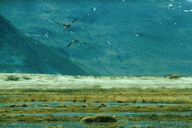
Our advisors and scientists conduct studies into the disturbances to which animals, among these geese and caribou, are exposed due to mineral exploration. This is done partly to quantify the effects and partly to consider possible habituation. Also, a vegetation mapping project has been undertaken, based on satellite images (#KORT 3/1).